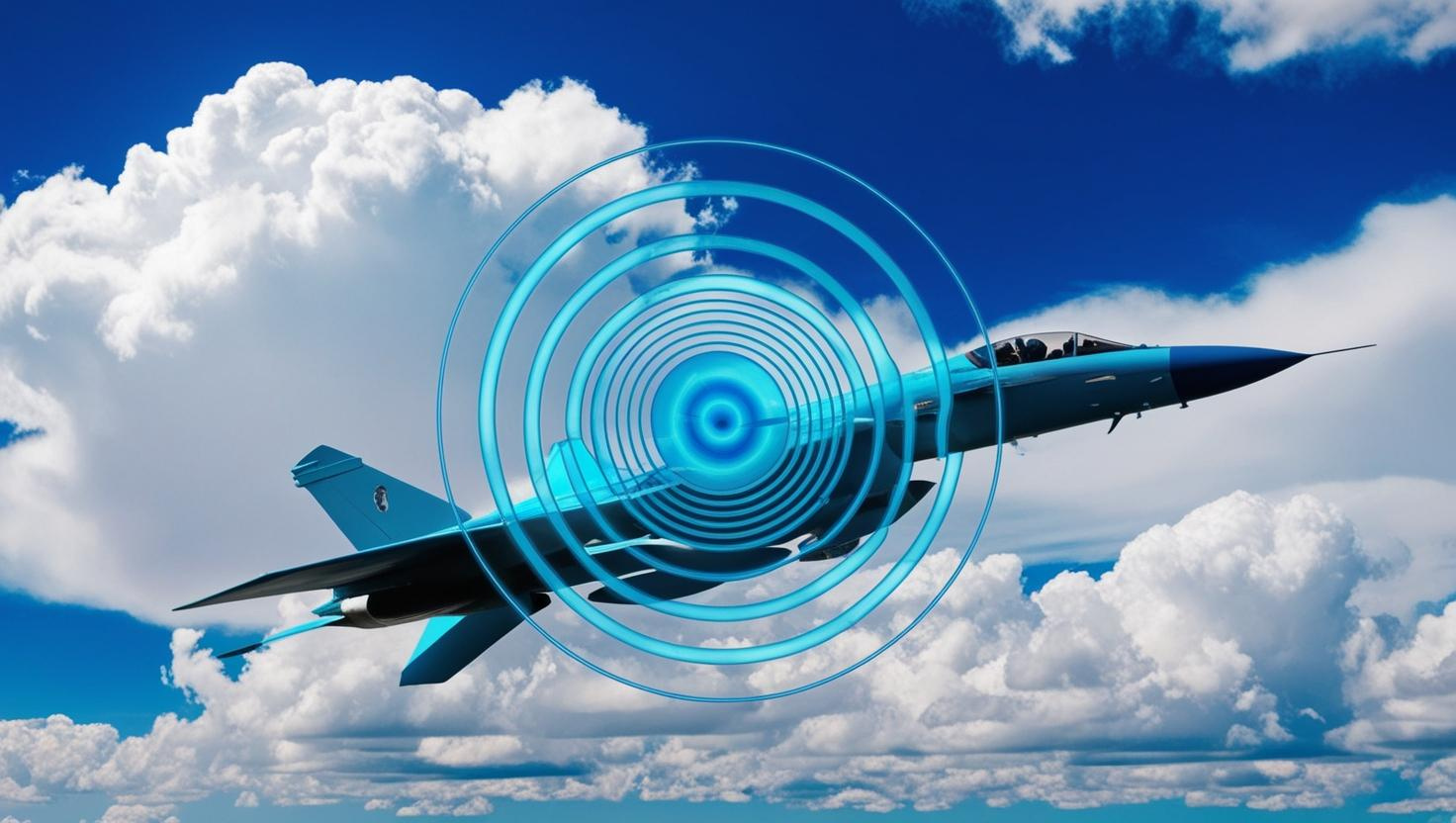
Radar Cross Section and SAR technologies
From terrestrial, airborne, and naval platforms to satellite communications
Pioneering the future of radar cross section analysis
We pioneer cutting-edge technologies for radar cross section analysis with efficient computational methods with powerful architecture. We also provide training programs for engineers and researchers on radar systems, electromagnetic theory, and computational methods.
Multiple Engineering Applications with Satellite Imagery
We offer specialized solutions via satellite imagery processing including SAR interferometry and SAR polarimetry. Our algorithms are available to be used in various fields, such as vegetation monitoring, landslide detection and disaster assessment.
Our Core Services
We offer specialized solutions in radar cross section analysis and satellite imagery processing.
RAY-DAR
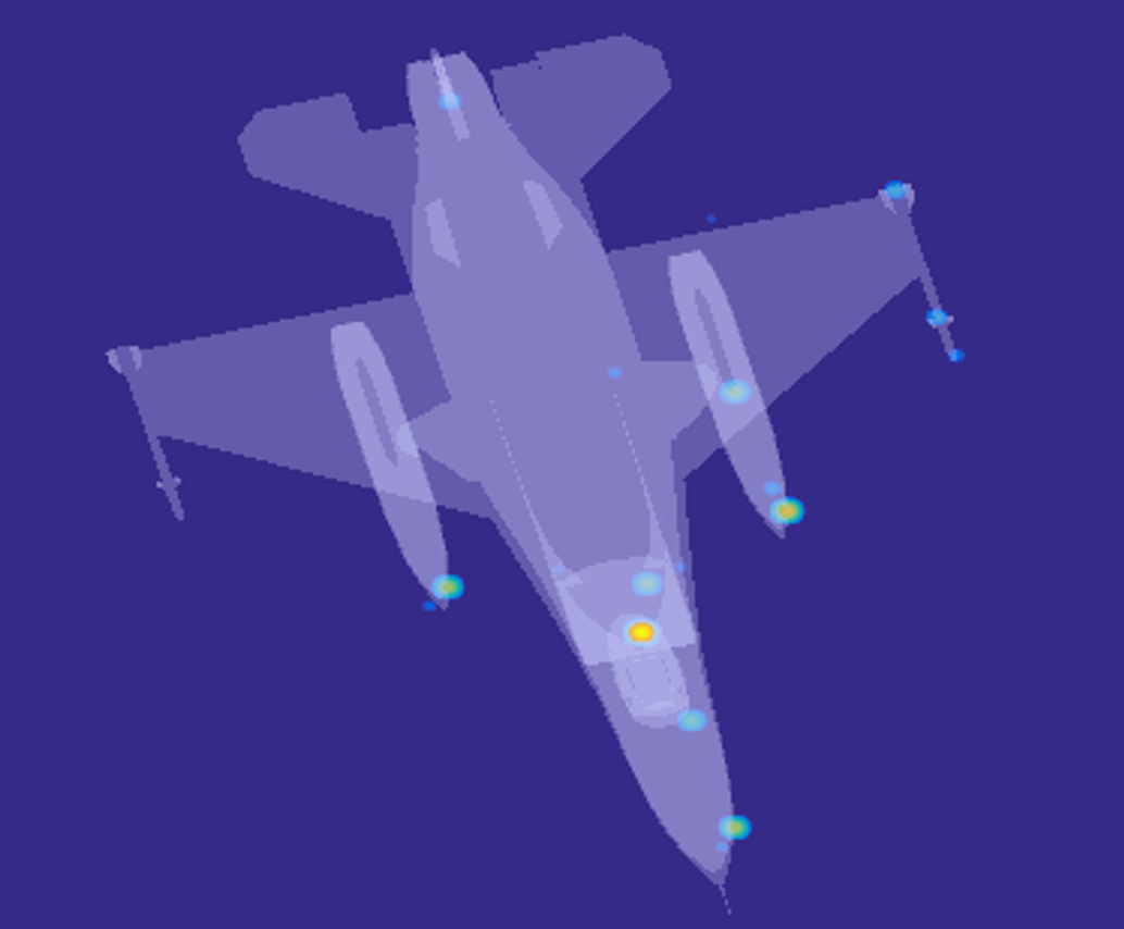
Advanced computational modeling and analysis software for accurate radar cross section characterization of complex structures.
Learn more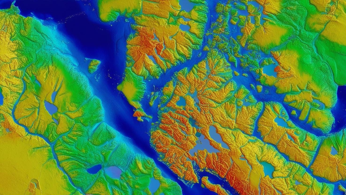
RCS and SAR Analyses
Analysis of radar cross section, SAR imaging, range profile and scattering center data, as well as satellite SAR data processing.
Learn more
Training Programs
Comprehensive training courses for engineers and researchers on radar systems and magnetic signature analysis.
Learn more